Services
We provide high resolution imagery and videos for different industries. We provide both Business to Business and Business to Consumer services. If you need a bird’s eye view, we are the team for you!
Advertisement
We use our equipment to capture content for video and photography. Let us know if microphones and scripting need to be used.
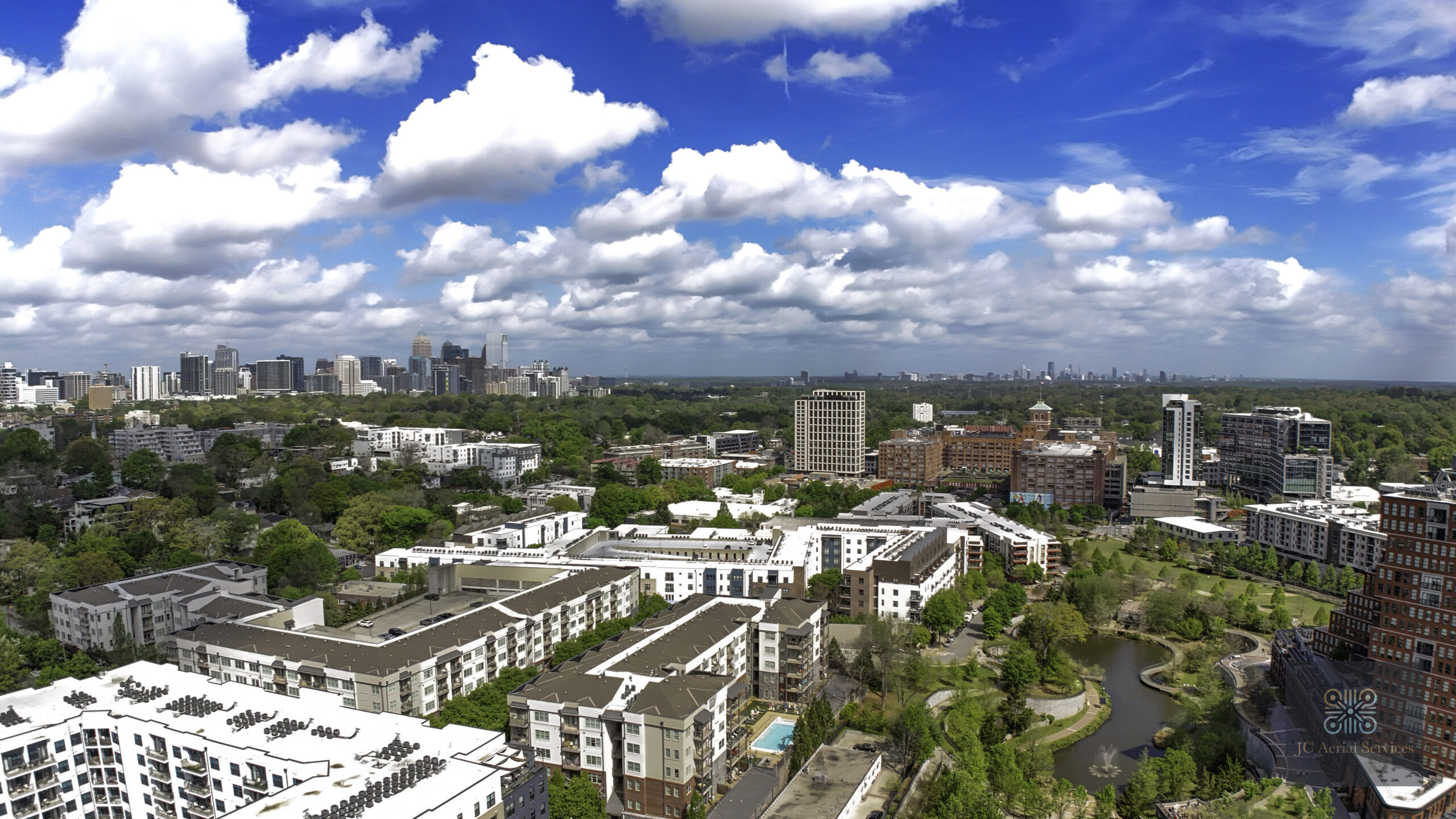
Tourism/Moving Relocation
We use our equipment to capture photography and videos to highlight the community through Youtube or social media.
Real Estate- Residential and Commercial
We partner with photographers by adding the aerial imagery and videos for listings
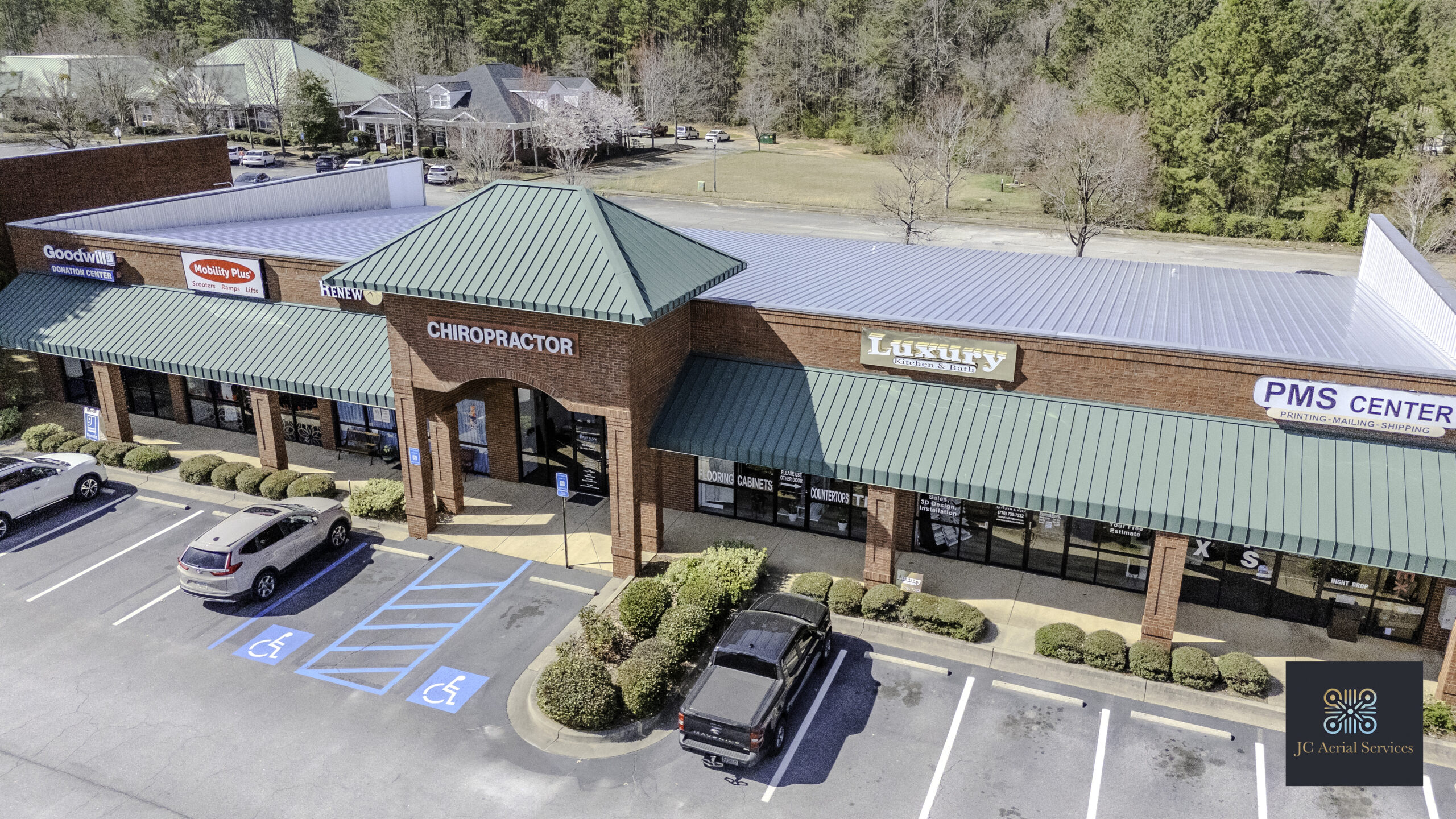
Inspection Drone Services
We use our equipment to aid homeowners and/or work with roofing companies, insurance adjusters, and property managers by using timestamped high resolution images that can be stitched together to aid in assessments of properties.
Special Events
Capture events from a wedding to a sports event to a business summit.
*Warning – no confetti as this can cause the drone to crash.
Construction/Civil Engineering
We offer progress videos and detailed aerial imagery to document site development over time.
Captured images can be mapped and modeled for comprehensive analysis. Our RTK-enabled drones can integrate with CORS networks for enhanced positional accuracy.
Future State
As we continue to grow, we are investing in emerging technologies to expand our services into new industries.
Custom Projects
Let us know if there is something unique not mentioned that YOU can use a drone.
F.A.Q.
Frequently Asked Questions
JC Aerial Services LLC provides high-resolution aerial imagery, videography, and mapping and modeling (photogrammetry) solutions. We specialize in drone-based roof inspections, aerial real estate photography and videography, construction site monitoring, and more.
We serve a variety of industries, including real estate, construction, insurance, roofing, and infrastructure inspection. Whether you need aerial visuals for marketing, site monitoring, or inspections, we can tailor our services to meet your needs.
Yes! We utilize RTK (Real-Time Kinematic) technology to enhance the accuracy of our mapping and surveying projects. This ensures precise, centimeter-level data, making it ideal for construction, land development, and infrastructure inspections.
Additionally, book us for outdoor special events such as outdoor weddings and gatherings.
Drone inspections provide a safer, faster, and more cost-effective way to assess properties, roofs, and large-scale sites. We are currently working on partnerships to use AI reporting for inspections.
Pricing depends on the type of service, project size, and location. Contact us for a free quote, and we’ll provide a customized estimate based on your needs.
RTK provides real-time positional corrections, significantly improving GPS accuracy. This allows us to deliver highly accurate georeferenced maps, reducing errors and the need for ground control points in many cases. The RTK network JC Aerial Uses is PointOne Nav.